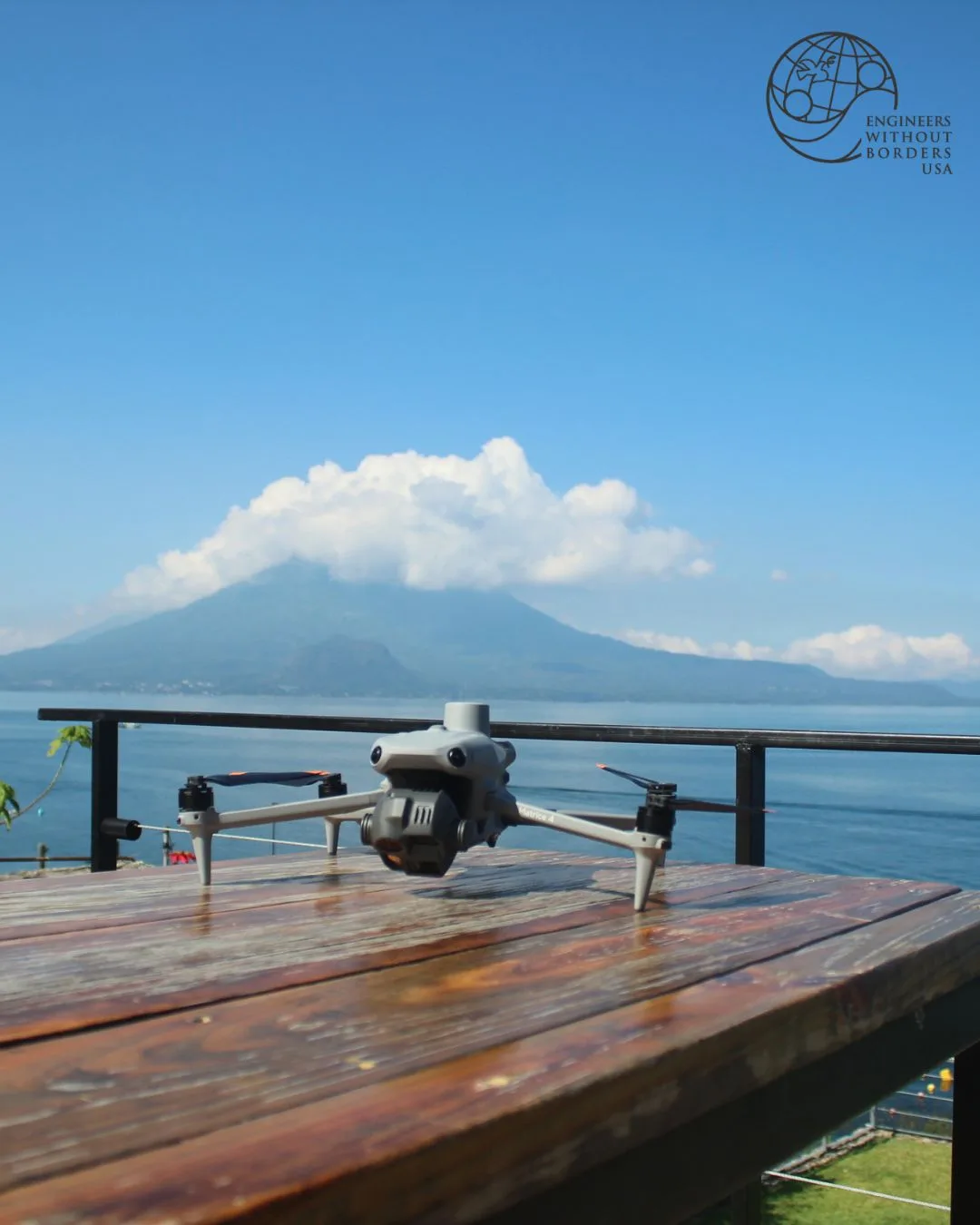
Trimble's innovative mapping technology is set to revolutionize water infrastructure development in Guatemala, thanks to a strategic partnership with Engineers Without Borders USA (EWB-USA). This initiative comes at a crucial time as global water needs intensify, highlighting the significance of precision geospatial data in engineering sustainable solutions.
What Happened
In a groundbreaking collaboration, Trimble and Engineers Without Borders USA (EWB-USA) launched a 10-day GIS/Geospatial Drone Mapping and GNSS fieldwork course in Guatemala, from May 31 to June 10, 2026. This initiative marks EWB-USA's first such institute, deploying nine young professional engineers, including two local Guatemalans, to some of the country's most challenging terrains. The goal was to collect precision mapping data essential for designing water systems that will benefit hundreds of families across nine project sites.
The fieldwork took place in diverse regions, including the shores of Lake Atitlán, the high Ixil mountain range of Quiché, and the Alta Verapaz area. Utilizing Trimble's GNSS receivers and aerial imaging systems, the team produced orthomosaics, digital surface models, and georeferenced point clouds. These data sets are critical for informed decisions on pipeline routing, storage placement, and terrain analysis.
Trimble has been a staunch supporter of EWB-USA, contributing technology donations, financial grants, and promoting STEM education through its Trimble Foundation Fund. "Helping volunteers utilize our technologies for community infrastructure projects is an excellent way to train the next generation of engineers and drive a more sustainable future," said Dietmar Grimm, chair of the Trimble Foundation Fund.
What This Means for Your Business
The success of this initiative underscores the transformative power of geospatial technology in addressing global humanitarian challenges. For AECM professionals, this project exemplifies the potential for leveraging precision mapping technology in complex infrastructure projects, particularly in remote or difficult-to-access areas. The collaboration between Trimble and EWB-USA demonstrates how strategic partnerships can enhance project outcomes, offering a model for similar endeavors in other regions.
For companies involved in government contracting and engineering, this initiative highlights the importance of investing in advanced technologies and forming alliances with nonprofits to drive innovation in sustainable infrastructure development. The use of Trimble's GNSS technology in Guatemala could serve as a blueprint for projects requiring precise data collection and analysis, offering potential competitive advantages and improved ROI.
What US Operators Should Watch
As the global demand for sustainable infrastructure solutions grows, US operators should closely monitor developments in precision mapping technology and its applications in the AECM sector. Staying informed about advancements in GNSS and geospatial data collection can provide critical insights into enhancing project efficiency and effectiveness.
Moreover, operators should watch for opportunities to engage in similar partnerships that align with corporate social responsibility goals and leverage advanced technologies to address pressing humanitarian needs. Tracking federal funding opportunities and procurement windows related to infrastructure projects can also position companies to capitalize on emerging trends and technologies, ensuring they remain at the forefront of industry innovation.
Is your firm ready for what’s next?
VisioneerIT helps AECM and government contractors modernize operations, achieve compliance, and implement AI.
Explore VisioneerIT Solutions →